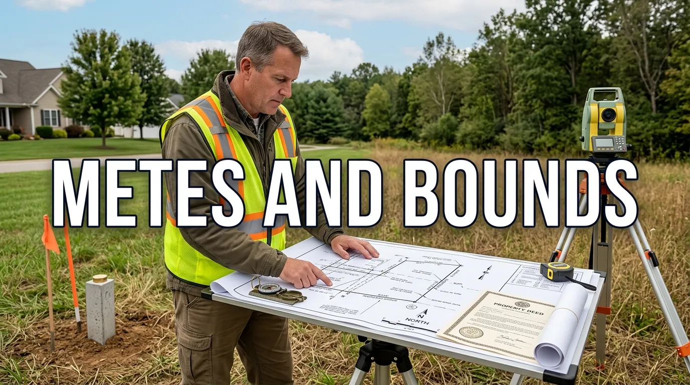
Metes and bounds is a traditional legal-description method that identifies land by tracing a parcel’s perimeter. Instead of relying on a street address, it uses directions, distances, monuments, and other boundary references to identify the property on the ground. For U.S. homeowners, buyers, and landowners, understanding the basic system can make an old deed or survey much easier to read.
| Key fact | What it means |
|---|---|
| Starting point | The description begins at an identified point of beginning, or POB |
| Direction | Bearings or courses show which way each boundary line runs |
| Distance | Measurements state how far each boundary segment extends |
| Monuments | Physical markers may identify corners or other controlling points |
| Adjoining boundaries | Roads, streams, walls, or neighboring parcels may help define a line |
| Closure | The final boundary call returns to the starting point |
| Professional use | Surveyors interpret the description with deeds, records, monuments, and field evidence |
Direct answer: Metes and bounds is a legal method of describing a parcel by tracing its perimeter from a defined point of beginning. The description follows bearings, distances, monuments, and adjoining boundaries around the property until it returns to the start, creating a closed description that a surveyor can locate on the ground.
Key takeaways
- “Metes” are measurements such as courses, bearings, and distances.
- “Bounds” are physical or recorded features that help identify the limits of the parcel.
- A proper boundary description normally works around the parcel and closes at its starting point.
- The method differs from the Public Land Survey System and the lot-and-block system.
- An old deed can be informative, but a licensed surveyor is the right professional to locate disputed or uncertain lines on the ground.
What Metes and Bounds Means in Real Estate
The word metes refers to measurements used to move from one boundary point to the next. These measurements commonly include a direction or bearing and a distance, while bounds can refer to monuments, roads, streams, adjoining tracts, or other boundary features. Taken together, the calls create a written route around the perimeter of a specific piece of real estate.
The description normally begins at a fixed or identifiable location and proceeds from call to call until it returns to that location. Cornell Law School’s Legal Information Institute, in its legal definition of metes and bounds, states that the description must return to the point of beginning, and surveyors call that return closure. Homeowners looking for related property information can also browse MagBuff’s Real Estate section for additional real-estate reading.
The 7 Key Parts of a Legal Boundary Description
A boundary description can look intimidating because it compresses surveying instructions into formal language. Reading it becomes easier when you separate the text into its individual parts rather than trying to understand the whole paragraph at once. Federal land-description guidance identifies elements such as points of commencement, points of beginning, courses, distances, monuments, adjoining lands, and closing calls.
- Point of commencement: Some descriptions first reference a known location that leads to the parcel itself.
- Point of beginning: The POB is where the actual boundary description starts and ultimately returns.
- Course or bearing: This states the direction in which a boundary line runs.
- Distance: A measurement that states the length of that particular line.
- Monument: An iron pin, concrete marker, road feature, or other identifiable object may establish a point.
- Adjoining boundary: A call can reference a neighboring tract, roadway, watercourse, wall, or recorded line.
- Closing call: The last leg brings the description back to the POB or another stated closing location.
Not every deed uses identical wording, and older records can contain references that no longer make immediate sense to a modern reader. A description may also combine record references with measurements and physical evidence rather than relying on one kind of call. That is one reason surveyors examine the complete record instead of interpreting a single phrase in isolation.
How to Read a Metes-and-Bounds Description
Start by finding the POB, then treat each subsequent call as one leg of a walk around the property. For every leg, identify the direction, distance, destination, and any monument or adjoining feature mentioned in the text. Continue in sequence until the final call returns to the starting location and closes the parcel.
Here is a simplified fictional example showing how the language can be translated into plain English:
| Sample call | Plain-English meaning |
|---|---|
| Beginning at an iron pin at Oak Road | Start at the identified survey marker |
| Thence N 30° E, 200 feet | Travel 200 feet on the stated bearing |
| Thence S 60° E, 150 feet to a stone marker | Follow the next course to another monument |
| Thence S 30° W, 200 feet | Continue along the third boundary |
| Thence N 60° W, 150 feet to the POB | Complete the perimeter and return to the start |
This example forms a simple shape, but real parcels can have curves, irregular lines, multiple monuments, or references to earlier recorded documents. The U.S. government’s specifications for land descriptions show that courses, distances, monuments, adjoining lands, and closing calls can all appear in the body of a formal description. A homeowner can use the written calls to understand the document, but a qualified surveyor determines the legal boundary’s field location.
How This System Differs From Other U.S. Land Descriptions
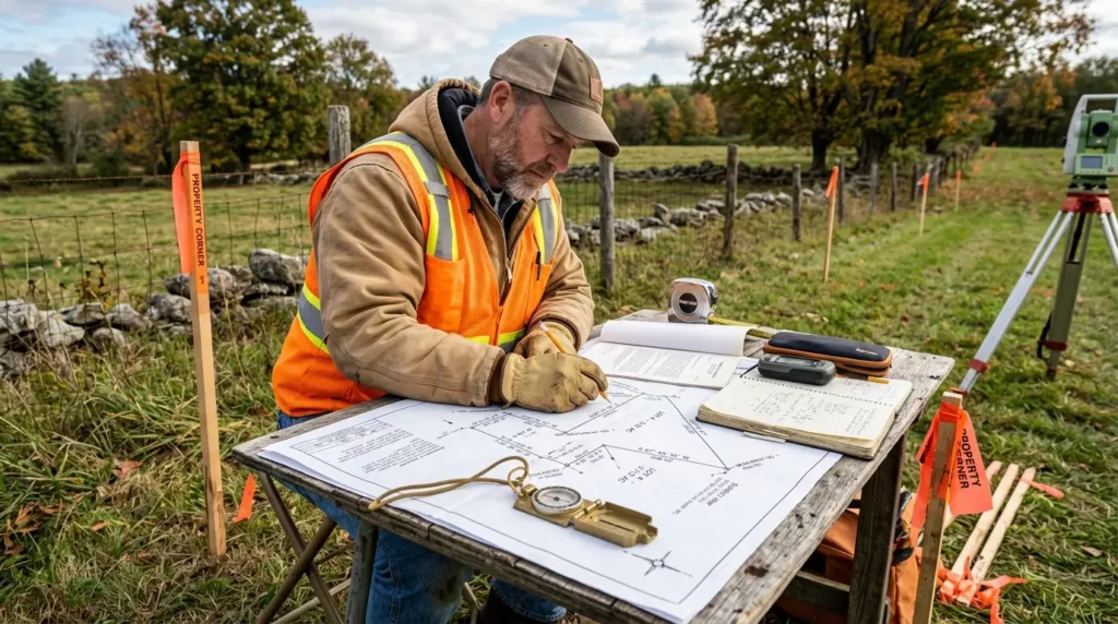
U.S. real estate records use several ways to describe land, and the correct method depends on the parcel and the records governing it. The Bureau of Land Management identifies three general land-description types: rectangular surveys, boundary-call surveys, and lot-and-block surveys. These systems can also appear in combination, especially when later divisions or recorded plats build on an earlier description.
| Method | How the property is identified | Common context |
|---|---|---|
| Boundary-call description | Directions, distances, monuments, and adjoining boundaries | Irregular parcels and many older deeds |
| Rectangular survey / PLSS | Township, range, section, and subdivisions | Land surveyed under the federal Public Land Survey System |
| Lot and block | Lot and block identifiers tied to a recorded plat | Platted residential and commercial subdivisions |
The rectangular system works from a surveyed grid rather than describing every property line as a sequence of calls. A lot-and-block description instead relies on a recorded subdivision plat that already shows the parcel’s position and dimensions. BLM’s land-description study guide provides a useful federal overview of how these methods differ.
Why Old Property Descriptions Can Be Difficult to Interpret
Older descriptions can refer to monuments, neighboring parcels, roads, or other features whose names or physical conditions have changed. A later survey may also encounter a difference between a measured distance and record evidence from an earlier survey. Those situations require more than copying bearings into a map because the original evidence and applicable state rules can affect the boundary analysis.
Property inherited through a family can bring these older records back into view after many years. If you’re also sorting out succession terminology, MagBuff’s guide to the legal meaning of an heir explains how inheritance language works in U.S. estate contexts. A boundary question and an ownership question are different issues, so each may require its own professional review.
No nationwide shortcut can determine which piece of conflicting evidence controls every boundary dispute. Surveying rules, deed interpretation, recording practices, and property law vary by jurisdiction, while individual facts can change the result. If a line’s location affects ownership, access, construction, or a dispute, a licensed surveyor and, when necessary, a local real-estate attorney should review the records.
When a Property Owner Should Consider a Survey
A deed can tell you how the land is legally described, but it does not always tell you where a disputed line lies on the ground today. A current survey connects record information with physical evidence on the property and identifies issues that are hard to resolve from paperwork alone. This can be especially useful before work that depends on knowing exactly where one parcel ends and another begins.
Common reasons to contact a licensed surveyor include:
- Buying an irregular or rural parcel with an older description.
- Installing a fence close to a suspected boundary.
- Constructing an addition, driveway, garage, or other improvement near a property line.
- Dividing or selling part of a larger tract.
- Resolving inconsistent deed, map, or monument information.
- Addressing a disagreement with an adjoining owner.
Boundary planning also overlaps with practical decisions about how you’ll use the land around your home. MagBuff’s Home Improvement section covers related property projects where site conditions and placement can matter. Before building near a boundary, check the applicable survey, setback, zoning, permit, easement, and title requirements in your jurisdiction.
Frequently Asked Questions
Are metes and bounds still used in the United States?
Yes, the method remains part of U.S. property records and is especially relevant to parcels described through individual boundary calls rather than a recorded subdivision lot. It also appears in modern descriptions when a parcel’s shape or history makes a call-by-call description appropriate. The exact recording and surveying requirements depend on state and local law.
What does “point of beginning” mean?
The point of beginning is the identified location from which the parcel’s boundary is traced. Each course and distance leads to the next point, and the sequence eventually returns to the POB to close the description. A clearly identifiable starting point helps connect the written description to a real location on the ground.
Is a street address the same as a legal property description?
No, a mailing address identifies a location for everyday purposes but does not itself trace the legal perimeter of the land. A deed can instead use boundary calls, a lot-and-block reference, or another legally accepted description tied to land records. If you need to know what land a deed conveys, review the legal-description section rather than relying only on the street address.
Can I map a legal description myself?
You can often follow a simple description to understand the general sequence of boundary calls. That exercise can help you read a deed, but don’t treat consumer mapping tools as a substitute for a boundary survey when ownership or construction depends on the result. A licensed surveyor can evaluate record documents, monuments, measurements, and field conditions together.
What happens if an old survey monument is missing?
A missing marker does not automatically erase the boundary or invalidate the deed. A surveyor can research recorded surveys, deeds, surviving monuments, adjoining parcels, and other evidence to determine how to re-establish the original boundary under applicable rules. Because those rules vary, a property owner should avoid moving a fence or claiming additional land based solely on a missing marker.
The Practical Takeaway for Property Owners
A legal boundary description makes more sense once you read it as a route around a parcel rather than as a dense paragraph of survey language. Identify the starting point, follow each direction and distance, note every monument or adjoining feature, and confirm that the description closes back at the beginning. When a purchase, improvement, inheritance, or dispute depends on the exact line, use the document as a starting point and have a licensed surveyor verify the boundary on the ground.